
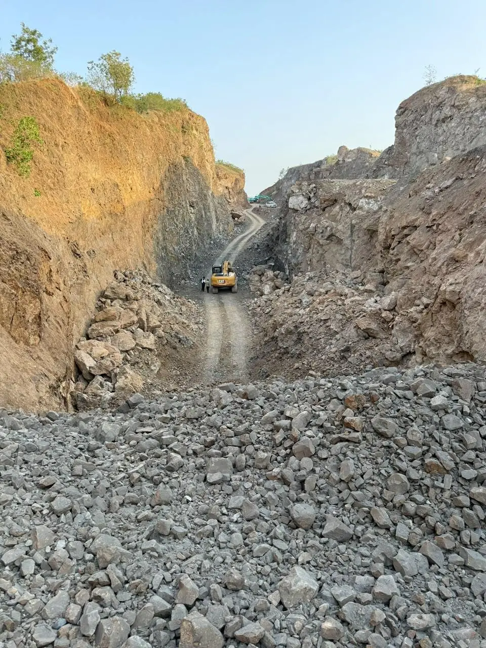
On a new alignment the earthwork quantity is fixed by the vertical profile long before a machine arrives. What is not fixed is where each cut goes. Send it to the right fill and the job needs less borrow, less land for spoil and fewer tipper hours. Send it by habit, to the nearest fill until that is full, and the last embankment on the section gets built out of a borrow pit while a cutting two kilometres back is carted to waste.
This article sets out cut and fill in road construction, the volume changes that make a cubic metre a slippery unit, how to read a mass haul diagram, and what to do when the cut is rock. MoRTH references are to the Specifications for Road and Bridge Works, Fifth Revision, Section 300; check the edition your contract cites.
Cut and fill in road construction: four quantities
Cut is material excavated from above formation level, and fill is material placed and compacted to bring low ground up to it. Two more quantities close the account. Borrow is fill that has to come from outside the roadway excavation. Spoil is excavated material that goes to disposal, because it is unsuitable or because there is nowhere economic to use it.
MoRTH Clause 301 sorts roadway excavation into classes by how hard it is to get out: soil; ordinary rock that comes out without blasting; hard rock that needs blasting; hard rock where the blasting has to be controlled because built-up areas lie within 200 m; hard rock where blasting is prohibited and the rock is chiselled or wedged out; and marshy soil. The class sets the rate. Clause 305 then says where good material should go: suitable cut from the same contract is preferred over borrow, and the best of it is saved for the sub-grade. The filling itself is covered in embankment construction as per MoRTH Clause 305.
Bulking and shrinkage factor: three volumes for one material
The same material has three volumes. Bank volume is what it occupies undisturbed in the ground, and it is what the cross-sections measure. Loose volume is what it occupies in the tipper. Compacted volume is what it occupies in the embankment at the specified density.
Digging always increases volume. That increase is bulking, also called swell. Compaction then takes most soils to a volume smaller than they had in the bank, which is shrinkage. Blasted rock is the exception. It never packs back to the solid it came from, so it stays larger than bank even after rolling.
| Material | Swell, bank to loose | Compacted volume against bank |
|---|---|---|
| Common earth and loam | 20–30% | Usually 5–15% smaller |
| Clay | 20–40% | Usually 5–15% smaller |
| Blasted hard rock | 40–80%, depending on fragmentation | Larger than bank |
Typical ranges from general earthmoving references, not from any Indian specification. They move with how dense the material lay in the ground, its moisture, the fragmentation of the blast and the density the fill is compacted to.
For soil the real figure comes from tests the site is already doing. The shrinkage factor is the in-place dry density in the cut divided by the dry density achieved in the fill, both taken by the field density test.
Bank volume, from the cross-sections = 10,000 m³
Loose volume at 25% swell = 10,000 × 1.25 = 12,500 m³
Shrinkage factor = 1.65 ÷ 1.85 t/m³ = 0.89
Compacted volume = 10,000 × 0.89 = 8,900 m³
Cut needed for 10,000 m³ of fill = 10,000 ÷ 0.89 = 11,240 m³
The tippers carry 12,500 m³ and the embankment gains 8,900 m³
For payment MoRTH sets all of this aside. Clause 305.8.2 assumes that one cubic metre of suitable roadway excavation makes one cubic metre of compacted fill, and says bulking and shrinkage shall be ignored. The factors are therefore the contractor's own numbers, for sizing the fleet and for knowing whether the cuts will really fill the banks.
How to read a mass haul diagram
A mass haul diagram is a graph of cumulative earthwork volume along the alignment, with cut counted positive and fill negative, and the fill adjusted by the shrinkage factor so that both are in the same units. Chainage runs along the bottom, and the diagram is usually drawn directly under the longitudinal section so the two can be read together.
| On the diagram | On the ground |
|---|---|
| Curve rising | The road is in cut and surplus is accumulating |
| Curve falling | The road is in fill and material is being used up |
| A peak | Cut changes to fill |
| A trough | Fill changes to cut |
| Any horizontal line meeting the curve at two points | Cut and fill balance between those two chainages |
| Height of the loop above or below that line | The volume to be moved within the balanced length |
| Loop above the line | Haul runs forward, with the chainage |
| Loop below the line | Haul runs backward |
| Curve ends above where it started | Net surplus, to be spoiled |
| Curve ends below where it started | Net deficit, to be borrowed |
Planning is a matter of sliding balance lines up and down the curve. One long balance line means long hauls and no waste. Several short ones mean short hauls, with some spoil at one end of each and some borrow at the other. The economic arrangement lies where hauling the last cubic metre the full distance costs the same as wasting it and borrowing its replacement.
Free haul, overhaul, lead and lift
Free haul is the distance within which moving the material is covered by the excavation rate. Overhaul is haul beyond that distance, paid as volume multiplied by the extra distance where a contract provides for it. Lead is the horizontal distance the material is carried, and lift is the height it is raised.
How these are measured depends on the contract. IS 1200 Part 1, the method of measurement that many building and state schedules follow, measures lead over the shortest practicable route in units of 50 m up to 250 m. It treats excavation down to 1.5 m below ground as included in the item and measures extra lift in units of 1.5 m. MoRTH goes the other way: its rates for roadway excavation and for embankment cover transport with all leads and lifts unless the contract provides otherwise. On a contract let on those terms nobody is paid overhaul. The mass haul diagram stops being a measurement document and becomes the contractor's cost plan.
Haul cost is distance, gradient and road condition together. A well-kept route shortens every cycle, which is the case made in quarry haul road design, and the same arithmetic governs stone, as in how lead distance moves the aggregate rate.
What to do with rock from a cutting
Rock costs more to excavate than any other class and is worth more than any other once it is out. How it comes out depends on what stands nearby: open blasting, controlled blasting, or a hydraulic breaker where blasting is not allowed, a choice worked through in rock breaker versus blasting. Once it is on the ground there are two good uses for it.
- Rockfill embankment, MoRTH Clause 313. Hard, durable, inert rock, preferably with no piece over 300 mm, is spread by dozer in layers of not more than 500 mm compacted thickness. Each layer gets at least five passes of a vibratory roller of 8 to 10 tonnes static weight, and the surface voids are filled with broken fragments. The top layer is blinded with granular material, and there has to be at least 500 mm of earth cushion over the rockfill. Argillaceous rock such as clay and shale, unburnt colliery stock and chalk are not allowed.
- Crusher feed. If the rock passes the tests for the layer it is meant for, it is worth far more as GSB, WMM or single-size aggregate than as fill. That means sampling the cutting early for the aggregate tests MoRTH sets limits on, blasting to a fragment size the primary jaw will take, and keeping overburden and weathered rock out of the feed.
Whether rock from a roadway cutting may be crushed for use on the project, and what royalty or permission that involves, differs by state and by contract, so check the current notification before planning on it. Rock that fails the aggregate tests but is hard and durable still makes rockfill.
Where earthwork hands over to mining and crushing
A rock cutting is a short-lived quarry. It needs a drilling pattern, a licensed shotfirer, a fragmentation target and somewhere for the stone to go, which is a different crew from the one building the bank beside it. We work both sides of that line: cut, embankment and sub-grade under earthwork and excavation, and drilling, blasting and loading under mining operations, with three-stage plants to crush what comes out. Send the L-section, the bore logs or trial pit data for the cuttings and the quantities by class, and we can say which cuttings are worth treating as a source of stone.